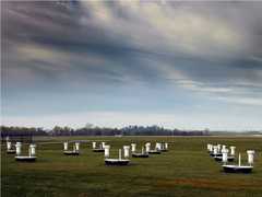
The Riegl VZ-1000 is a ground-based terrestrial laser scanner manufactured by Riegl Laser Measurement Systems. It provides lidar point cloud measurements to determine surface topography features. It operates at a 1550 nm wavelength and has a scan rate of up to 122,000 points per second. It has a maximum range of 1.4 km and a resolution of 2 cm.

Instrument Details
- Lidar
- Earth Science > Land Surface > Topography > Terrain ElevationEarth Science > Land Surface > TopographyEarth Science > Spectral/engineering > Lidar > Lidar BackscatterEarth Science > Spectral/engineering > Lidar
- Land Surface
- 122,000 Hz
- 2 cm
- 193 THz
- http://www.riegl.com/uploads/tx_pxpriegldownloads/DataSheet_VZ-1000_2017-06-14.pdf
Currently unavailable
Currently unavailable
Riegl
Currently unavailable
Currently unavailable
 Campaign Field Sites Stationary 62 Campaigns · 158 Instruments |  SnowEx 2016—2023 Colorado, Idaho, Utah, Alaska Ongoing 4 Deployments · 26 Data Products
|
Filter data products from this instrument by specific campaigns, platforms, or formats.
CAMPAIGNS
PLATFORMS
FORMATS